 |
Ian Laval & Kitty Lloyd July 18 - 25 2009 |
 |
|---|
| So we did it. We're back in Brentwood Bay
after hiking the Nootka Trail. A week backpacking in a remote,
endlessly beautiful corner on Vancouver Island's Pacific shore
amid dense rainforest and deserted coast and wildlife ranging
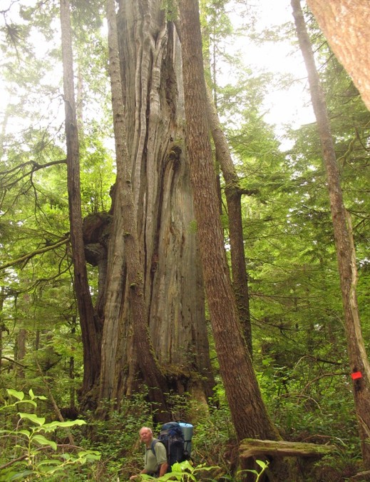
from bears and whales, eagles and wolves, resurging sea otters, massive trees and
sea-snails that tunnel through rocks. Nothing bit us (except the
odd mosquito and deer-fly); no legs got broken as we hauled
ourselves the 35 kilometers over endless tangles of giant fallen
cedars and roots that block every few yards of the rainforest
trail, or hopped with our over-loaded back-packs across the
shore boulders, slippery from slime and the outgoing tide. We
fell off none of the ropes we used to haul ourselves up and down
cliffs between stunning little (and some very big) beaches and
arrived at Yuquot aglow with maybe just a little of the sense of
achievement Captain Cook might have felt when he sailed in in
"Resolution" in 1778 to give birth to British Columbia in the
place now known as Friendly Cove. What a history has followed that event! Not just Cook but Vancouver, Quadra, Bligh, Meares -- they and more were all there towards the end of the eighteenth century, lured largely by the furs of the sea otters they traded to China and virtually exterminated in so short a time. And how relatively untouched and wild Nootka still is. Only eight people live on the island -- six of them the last native family to live full-time on Nootka. The rest of their fellow Mowahchaht band members moved to Gold River in 1968. There are no roads into or on Nootka, except a few rough logging trails with no connection to the mainland of British Columbia. You arrive by sea or by float-plane. We were flown in a 1954 Beaver float-plane -- romantic stalwart of the Canadian northwest -- into Louie Lagoon at the north end of Nootka, waded ashore with our backpacks and were abandoned to our own wits and devices at 3.0pm on Saturday, July 18, to start humping and clambering our way through one of the densest parts of the forest trail to our first camp on the beach -- luckily just an hour away. For the next four days we saw no-one on the trail until we arrived near Yuquot. One black bear, which ran when we announced our arrival in its path; no wolves -- but plenty of tracks; no cougars -- which were undoubtedly there, but smart enough to stay hidden; many bald eagles and deer which seemed quite undisturbed by our presence; sea otters fishing and playing in the abundant kelp; grey and humpback whales close inshore. We hung our food in the trees at night to protect it from bears and their uncannily sensitive sense of smell. And a plethora of bird and shore life. The scope of all this was magnified by Kitty's expertise as a professional marine biologist and natural history interpreter. The abundance of the wild Pacific Northwest here is astounding. Not to mention the vegetation -- dense rainforest of enormous, ancient red cedars, giant spruce and hemlock with a ubiquitous understory of thick, wiry, green-leafed salal through which to force a path. And then onto intermittent beach stretches, varying underfoot from fast-going, firm sand to polished boulder and steep pebbles which absorb much of your weary effort and move you grudgingly onward, sweating. But we chose the weather well. Rain was totally absent as a north Pacific high pressure system settled over Vancouver Island, with the sun in complete command. And Pacific fog lingering to keep us cooler on the longest, fourth day's trek through the forest. The story's best told in pictures. Words struggle to compete with the amazing beauty of this environment. Though it isn't just a story about scenery. It's impossible to visit Nootka without experiencing the gentle generosity of the native Mowahchaht people whose traditional land this is. |
 |
 |
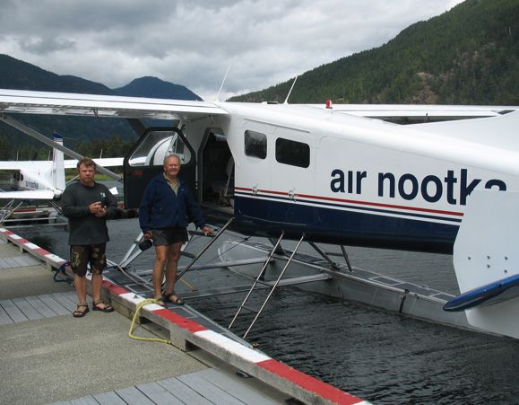 Boarding the Beaver at Gold River with Brad, the pilot |
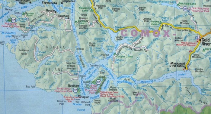
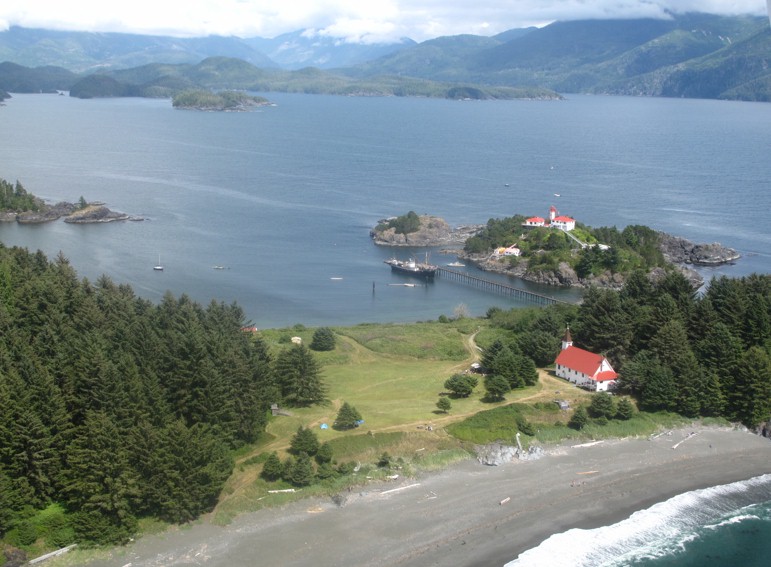 Yuquot (Friendly Cove) with lighthouse, church and old Spanish garden. Bligh Island, where Cook landed from the Pacific at Resolution Cove in 1778, is in the far background (map above). |
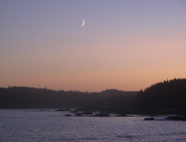
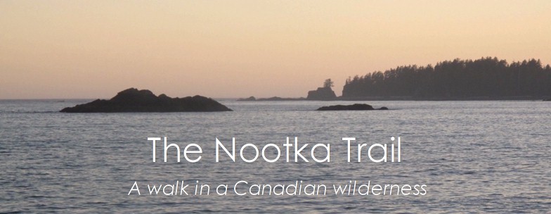
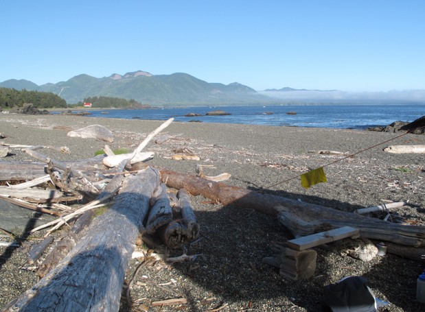
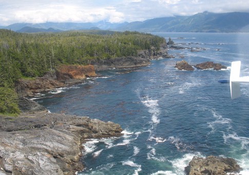 Nootka coast |
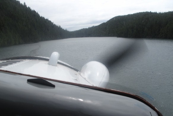 Coming into Louie Lagoon |
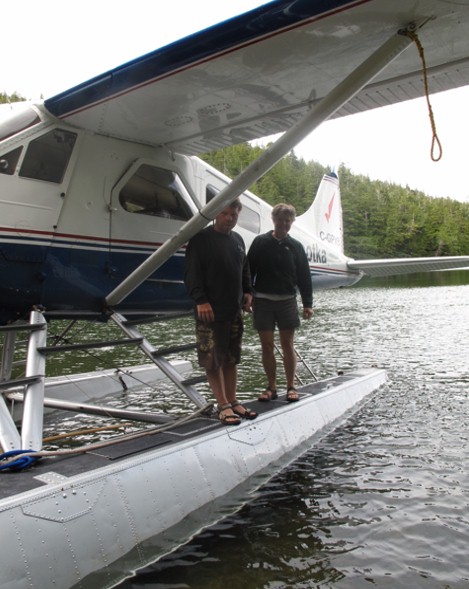 Getting off the Beaver to wade ashore |
 Brad and the Beaver depart...... |
 .......and we're on our own in the bush |
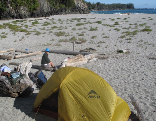 First overnight camp at the north end of Nootka |
 Food bags hung out of bears' reach |
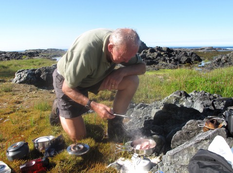 Day two. Bacon for lunch. |
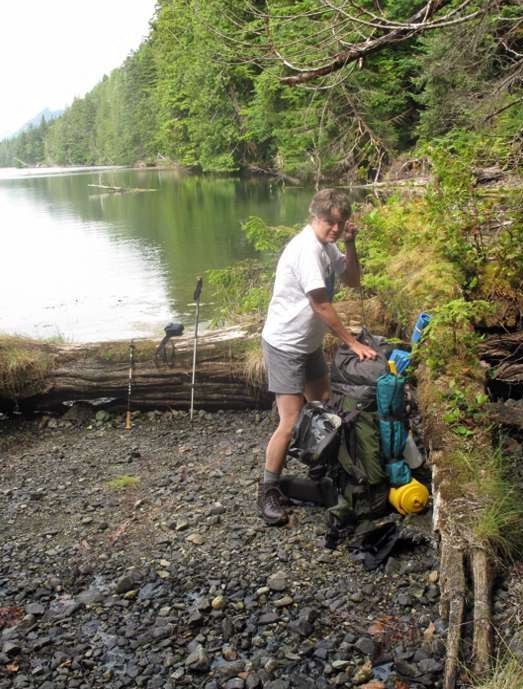
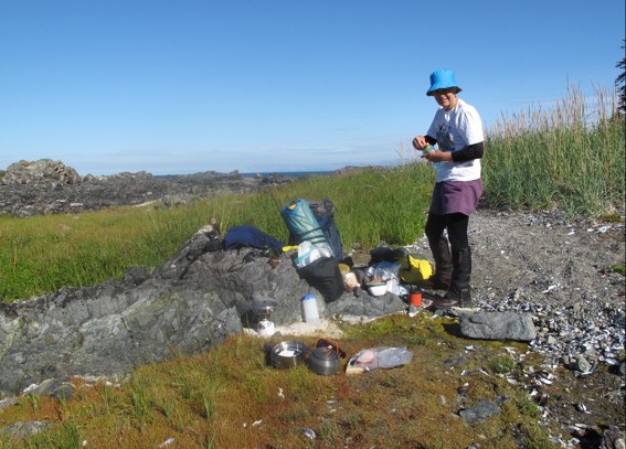 Kitty gets organised |
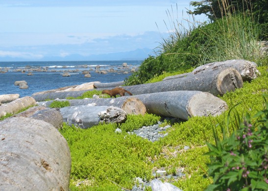 Mink scampers past our lunch-stop to go fishing |
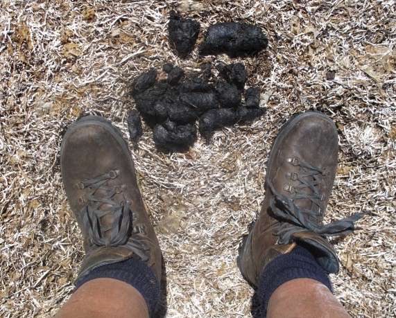 Bear-poop |
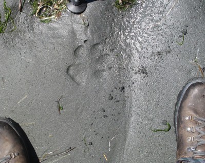 Wolf tracks -- one of many |
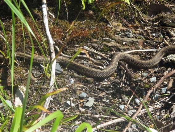 Snake (harmless, I'm assured) |
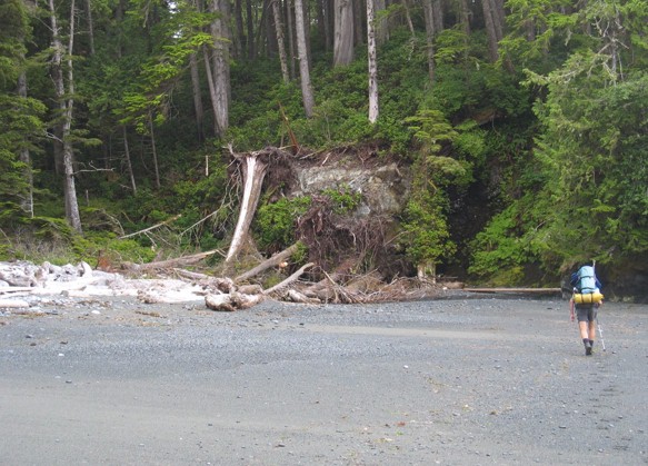
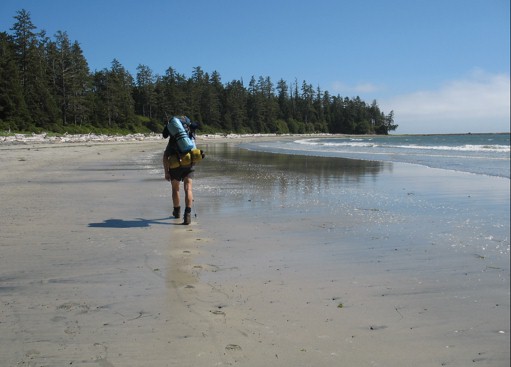 Good walking on rare firm sand |
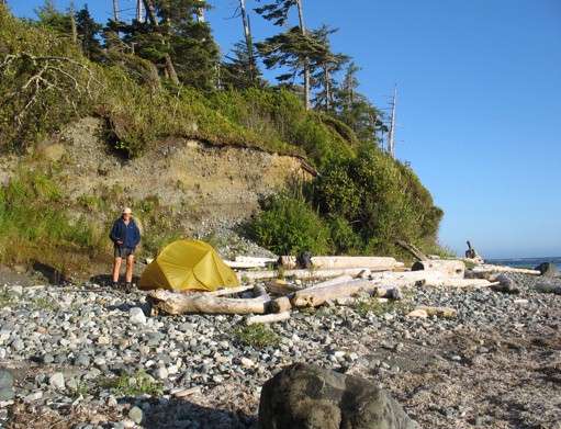 Camp two, out of tide's reach. We made a bed of dried sea-grass over the cobbles. |
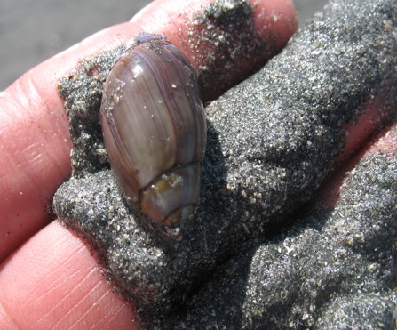 Purple olive snail -- a sea-shore sand-plough |
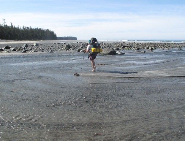 Kitty fords Calvin Creek |
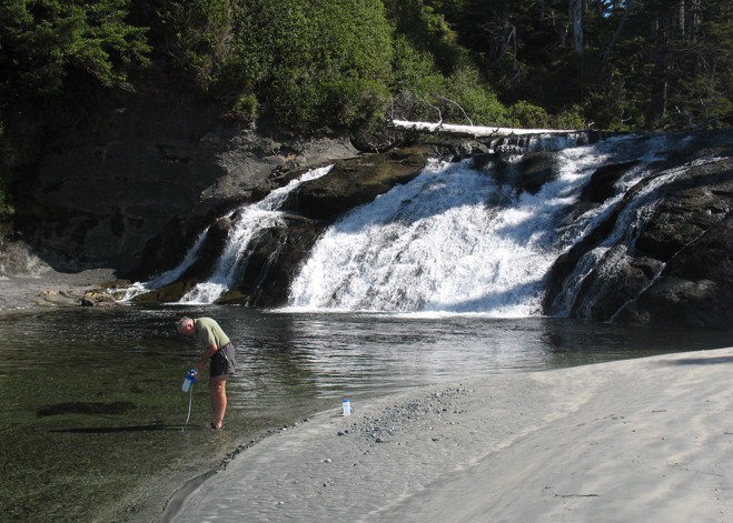 Filtering water at Calvin falls |
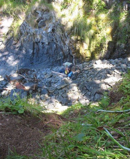 It's a long way down. And up...... .... |
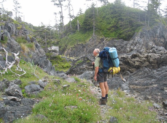
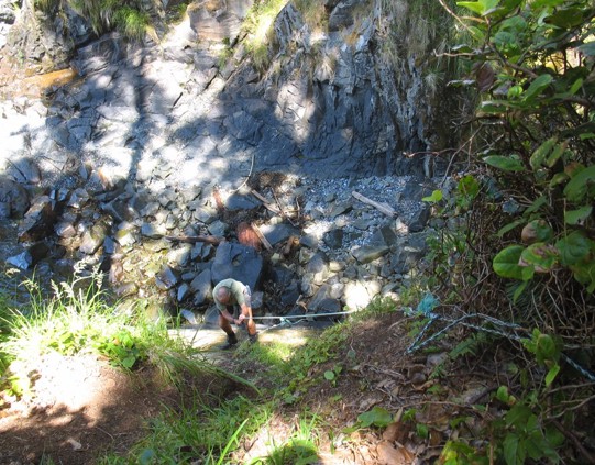 But up he goes...... |
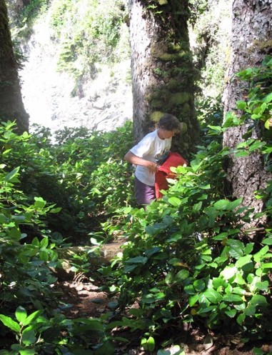 Kitty re-packs after climbing the cliff. |
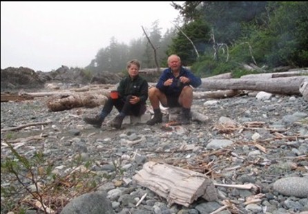 Tea on the beach |
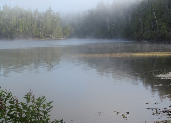
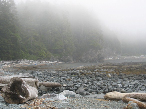 Pacific fog rolls in.... |
 Heading back into the forest for more bush-whacking |
 Sea-side wetland |
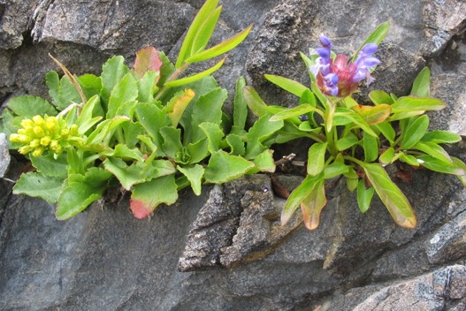 Rock-plants |
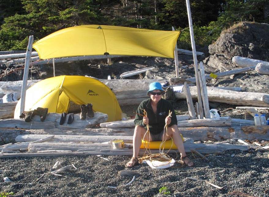 We made it. Kitty weaves a kelp basket at the last beach-camp |
 Kitty and finished basket |
 Fresh mussels and nori (seaweed) soup for supper |
 Yuquot and trail's end in sight |
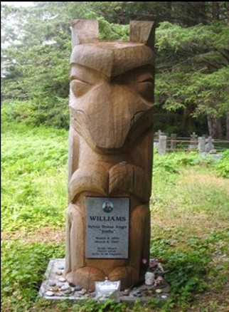 The grave at Yuquot of a 17-year-old native girl who died of liver failure |
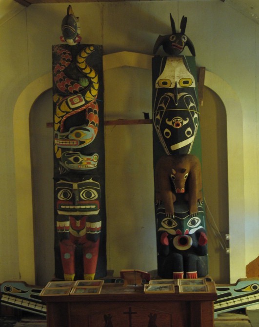 Totem poles erected incongruously on the altar of the old Church at Yuquot. |
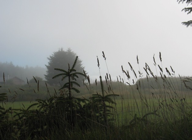 Early morning fog over the Spanish garden at Yuquot |
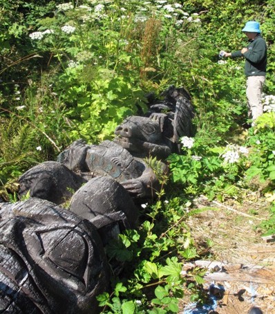 Photographing a fallen totem pole at Yuquot dating from 1919 |
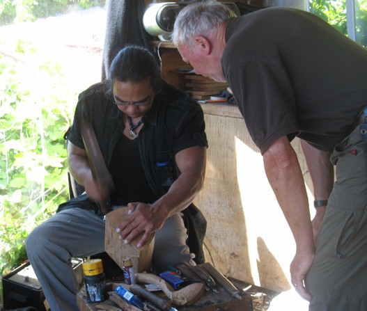 Sanford Williams, traditional carver son of the single remaining native Indian family still living at Yuquot, explains the use of one of his carving adzes. |
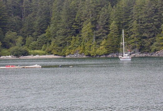
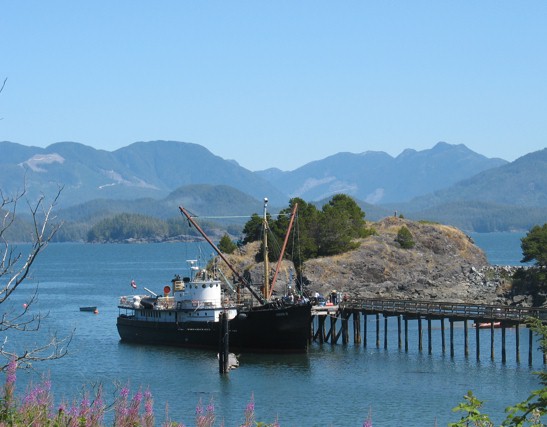 The 1942 ex-minesweeper Uchuck III at Friendly Cove dock. Our transport back to Gold River. |
 All explorers have them..... |
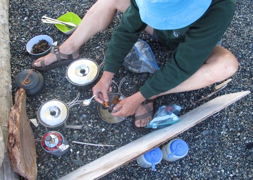
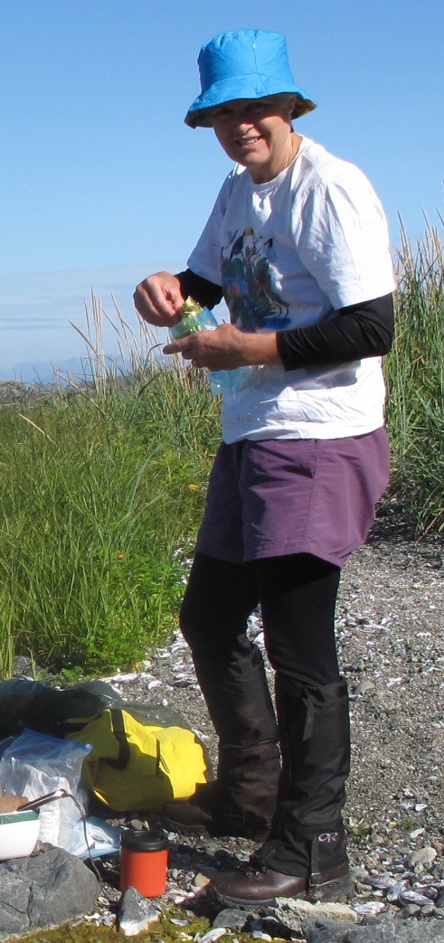 Kitty gets the stove out for lunch |