Hecate Strait and the Queen
Charlotte Islands, British Columbia.
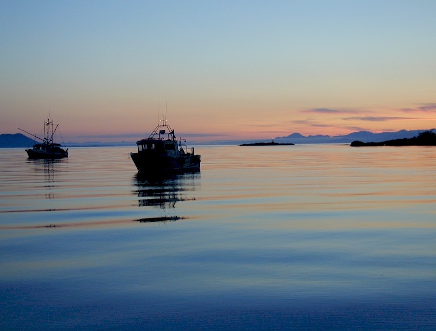
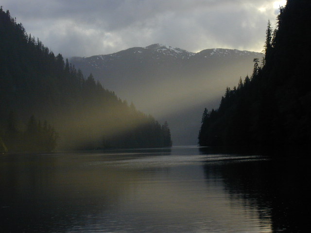
Dawn at Qlawdzeet anchorage, Dixon
Entrance,
northern British Columbia, with Alaska in the background.
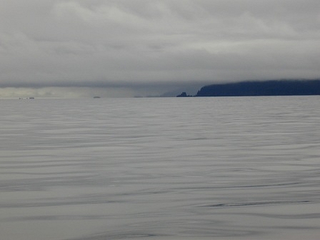
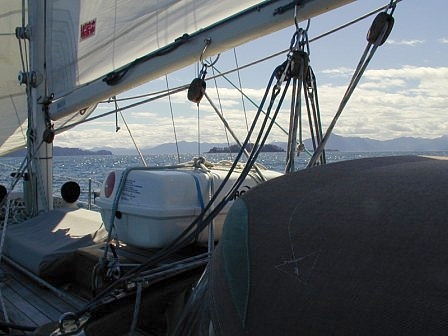
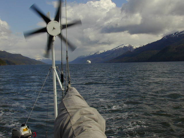
Calm passage and looming weather at
Cape St James,
southern tip of the Queen Charlotte Islands, British Columbia.
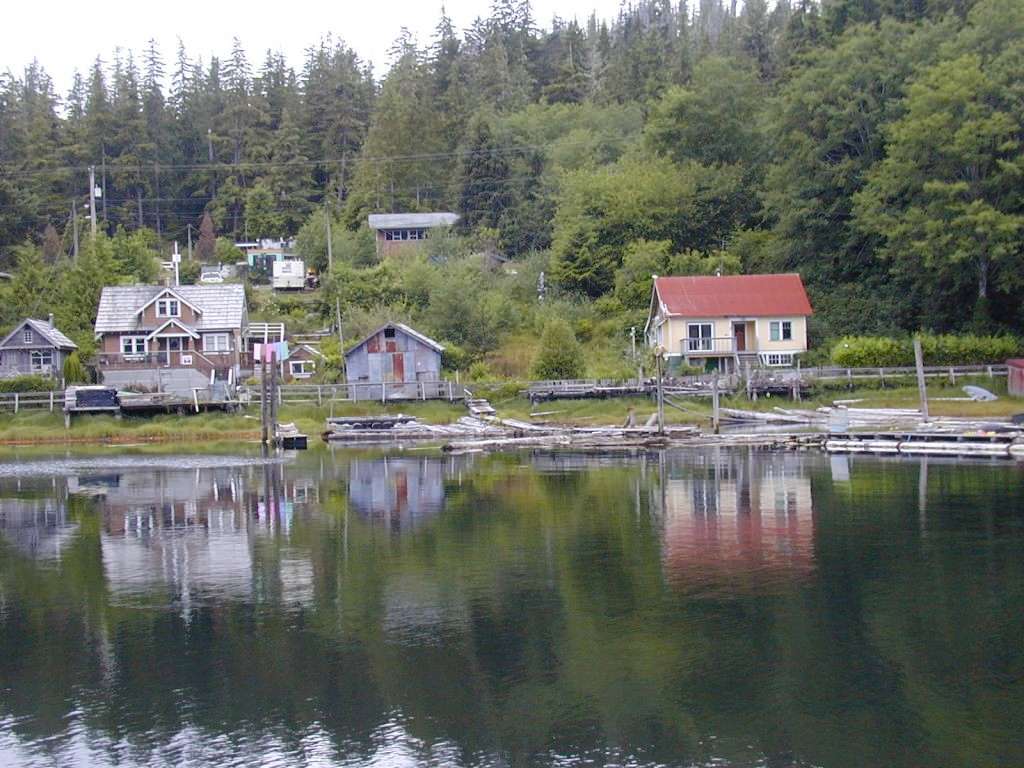
Winter Harbour, on the northwest
coast of Vancouver Island.
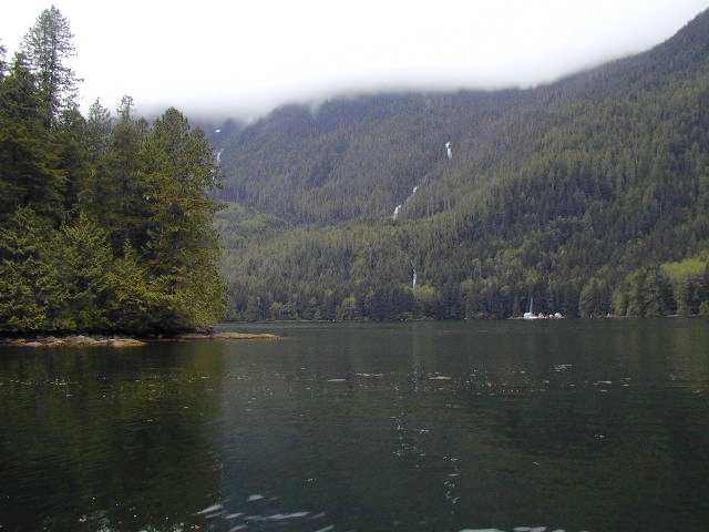
Evening light at Bottleneck Inlet,
northern British Columbia.
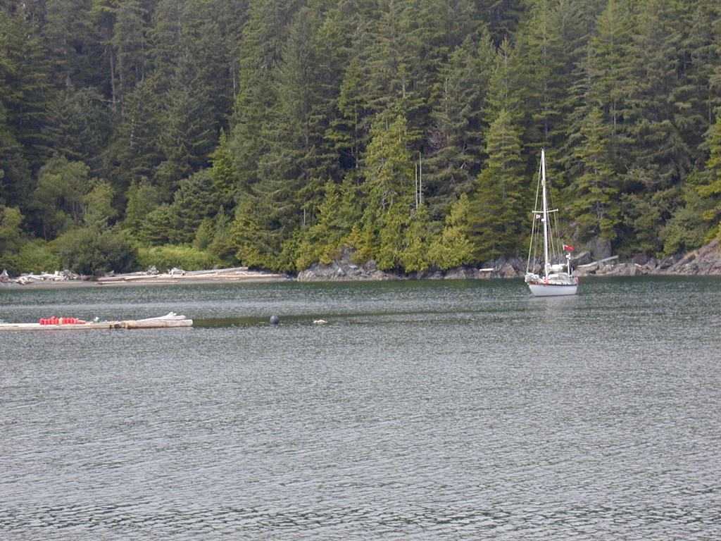
Lydia B in Grenville Channel,
Inside Passage.
Kwatsi Cove, northern British
Columbia.
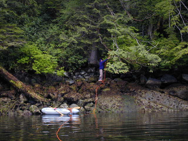
Stern tie at Kwatsi Cove.

Lydia B at Octopus Inlet, northern
British Columbia.

Black bear and cub, northern
British Columbia.
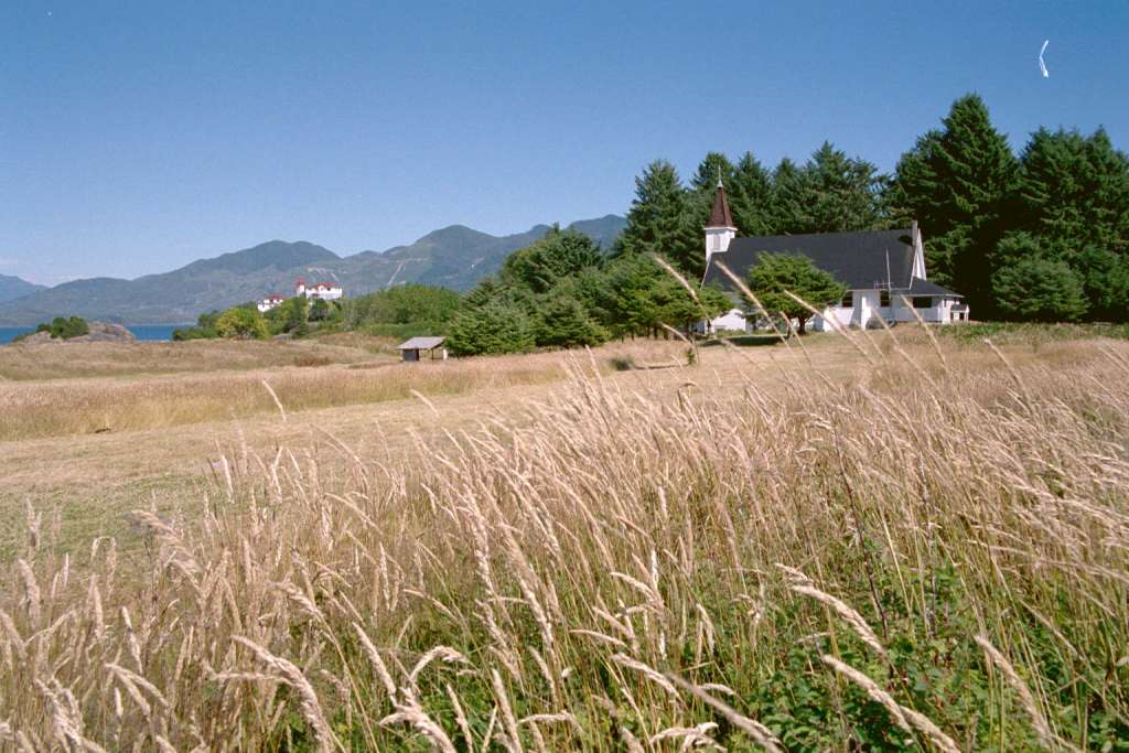
Lydia B anchored at Friendly Cove,
Nootka Island, Vancouver Island -- off the beach where Cook landed in
1773.
The old Spanish Garden and church at Friendly
Cove, Nootka, Vancouver Island.
Introduction
1
- British Columbia to El Salvador 2
- Nicaragua, Costa Rica, Panama
3 - San Blas to
Florida 4 - Intra-Coastal Waterway to Washington DC
5 - Brentwood Bay BC and Chesapeake 6
- Virginia & Atlantic to Azores
7 - Azores
& Ireland to England 8
- Chevy through the US - 1
9 - Chevy through the US - 2
|